 Floodplain Regulations Survey
Floodplain Regulations Survey
The City of Raleigh - Stormwater Management Division is interested in gathering feedback from the community on the City's floodplain regulations. Take a few minutes to complete the survey and share your thoughts.
Survey results will be used to help inform future updates to floodplain regulations. These regulations are intended to reduce impacts and safety concerns for areas in Raleigh near streams and creeks that are expected to flood during large rainstorms.
Definition of floodplain: An area of low-lying ground adjacent to a river and subject to flooding.
This survey closes August 21.
Step 1
Are you familiar with where the floodplain in Raleigh is located?
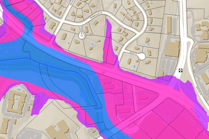
Do you live in or near the floodplain?
On the map below, please use your computer mouse to drag the circle to the area where you live.
(Use the plus (+) or minus (-) buttons to zoom in/out to view where you live. Or type in your address in the search tool)
Have you ever contacted the City of Raleigh - Stormwater Management Division about flooding issues on or near your property? Please explain.
Are you familiar with the City's floodplain regulations?
Please rate your level of satisfaction with current City floodplain regulations.
What would you like to see implemented as part of an update to the City's floodplain regulations? Please explain.
If you have additional thoughts or ideas, please share them below.
For more information about our efforts, visit: https://www.raleighnc.gov/services/content/PWksStormwater/Articles/UpdatingFloodRegulations.html
This is hidden text that lets us know when google translate runs.